
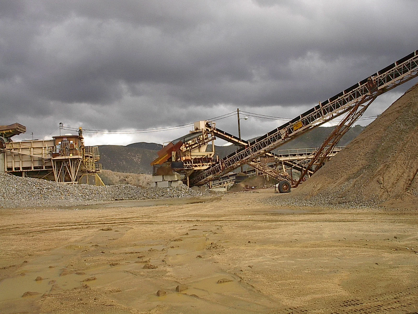
Unmanned Aerial Vehicles (UAVs) are quickly becoming a necessary tool used to gather data on stockpiles and terrain for the mining industry.
In the February 2014 article, “Putting Stock in Your Survey,” published in Geoconnexion International Magazine, a United Kingdom-based media outlet covering geotechnology industries, compares the use of UAVs to more traditional Light Detection And Ranging (LIDAR) for stockpile evaluations.